Devon Keller · 29 September 2026
Satellite Monitoring Reveals New Wildlife Pathways in Remote Ecosystems
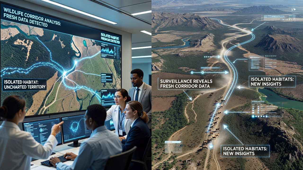
Researchers have turned to high-resolution satellite systems to track animal movements through areas once considered too difficult for ground-based observation, and the results continue to reshape how conservation teams approach habitat connectivity. Data collected from orbiting sensors now shows migration routes that link fragmented forests, mountain passes, and desert zones where traditional surveys had left gaps. These findings arrive as agencies refine their methods for monitoring species that travel long distances between seasonal ranges.
How Satellite Systems Capture Corridor Details
Modern satellite platforms combine optical imagery with radar and thermal sensors that operate regardless of cloud cover or time of day, allowing continuous collection over vast regions. Teams at organizations such as the European Space Agency process these streams to detect subtle changes in vegetation and terrain that indicate repeated animal use. When analysts overlay GPS collar data from ground teams, patterns emerge that point to corridors crossing rivers or skirting human settlements. In one series of observations, elephants in southern Africa followed routes that skirted steep escarpments previously mapped as barriers, and similar alignments appeared in data from caribou herds in northern Canada.
Fresh Discoveries in Isolated Regions
Isolated habitats in the Andes and the Tibetan Plateau have yielded corridor maps that extend earlier models by hundreds of kilometers. Satellite records from 2024 through mid-2026 reveal that certain feline species cross high-altitude passes during specific lunar cycles, a detail that ground teams had missed because of seasonal access limits. In Australia, analysts identified narrow strips of eucalyptus woodland that connect koala populations across agricultural zones, and these strips align with historical records of movement before widespread clearing. The data sets also flag previously unknown river crossings used by otters and beavers in boreal forests, where seasonal ice melt creates temporary bridges.
September 2026 Data Releases and Updates
In September 2026, several agencies published updated corridor layers derived from new satellite passes over the Amazon basin and the Canadian Shield. These releases incorporated higher-resolution multispectral bands that distinguish between different canopy densities, helping researchers separate active travel paths from areas used only for foraging. One combined data set from NASA and partner institutions showed that jaguar routes in Brazil had shifted northward by roughly 15 kilometers over five years, coinciding with changes in rainfall patterns recorded by the same satellites. Observers note that the timing of these releases aligns with funding cycles for protected-area planning, giving land managers current layers to incorporate into corridor protection proposals.
Integration with Field Studies and Modeling
Ground teams continue to validate satellite findings through camera traps and acoustic monitors placed along the newly mapped routes, and the combined data feeds into movement models that forecast how corridors may change under different climate scenarios. Universities in multiple countries contribute to these models by running simulations that test corridor resilience when temperature or precipitation variables shift. The models also incorporate land-use layers from satellite archives, allowing planners to identify pinch points where development pressure could sever connections. In practice, this approach has guided the placement of underpasses along highways that cross known migration paths in both North America and Europe.

Regional Examples and Cross-Border Applications
Cross-border corridors have received particular attention because satellite coverage ignores political boundaries. Data shared between Canadian and U.S. agencies has clarified grizzly bear movements across the Rocky Mountains, while similar exchanges between Kenya and Tanzania have refined maps of wildebeest routes that span both countries. In Southeast Asia, satellite-derived corridor layers now support joint efforts to protect clouded leopard pathways that cross national parks in Malaysia and Indonesia. These applications demonstrate how consistent data streams reduce duplication and allow faster response when threats such as logging or mining encroach on identified routes.
Challenges in Data Interpretation
Even with improved sensors, analysts must account for variables such as seasonal foliage changes and human activity that can mimic or mask animal signatures. Machine-learning classifiers trained on verified collar tracks help separate signal from noise, yet occasional mismatches still require field checks. Cloud persistence in tropical zones occasionally delays updates, prompting teams to rely on synthetic aperture radar passes that penetrate cover but offer lower detail for species identification. Despite these hurdles, the volume of usable corridor data has grown steadily, and archives now span more than two decades in many regions.
Conclusion
Satellite surveillance continues to expand the known network of wildlife corridors in places that ground teams reach only seasonally, and the September 2026 releases add another layer of precision to existing maps. As agencies combine these layers with field validation and predictive models, conservation planning gains clearer targets for protecting connectivity across isolated habitats. The approach relies on sustained data collection and international sharing rather than single discoveries, yet the cumulative record already shows routes that link populations previously assumed to be separate.