Jordan Becker · 15 September 2026
Tracking Endangered Species: Satellite Technology Maps Secret Migration Paths
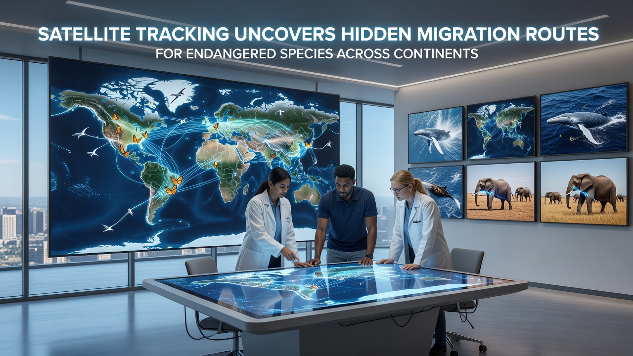
Researchers have used satellite tracking systems to document migration patterns that span multiple continents for several endangered species, revealing routes that cross deserts, oceans, and mountain ranges. Data collected through GPS collars and transmitters attached to animals such as sea turtles, elephants, and migratory birds shows precise pathways that were previously unknown to conservation teams. These findings come from coordinated efforts involving agencies in North America, Europe, and Australia, where scientists compile signals from orbiting satellites to map daily movements over thousands of kilometers.
Technology Behind the Discoveries
Modern satellite networks transmit location data at regular intervals, allowing teams to follow individual animals through remote areas where ground observation proves impossible. Systems operated by space agencies provide coverage that updates positions every few hours, while specialized tags on species like the monarch butterfly and the African wild dog record altitude changes and temperature variations along the way. In September 2026 new satellite passes delivered updated coordinates for a group of humpback whales traveling from Antarctic feeding grounds toward breeding sites near the equator, confirming stops at previously undocumented seamounts.
Equipment reliability has improved because engineers reduced tag weight and increased battery life through solar charging, which means longer tracking periods without recapture. Observers note that this combination of lighter devices and higher-resolution satellite imagery produces datasets large enough for statistical modeling of route preferences based on wind patterns and food availability.
Key Species and Documented Routes
Elephants in southern Africa travel corridors that link protected parks in Botswana with seasonal water sources in Namibia, crossing international borders multiple times each year. Satellite records show that some herds follow river valleys previously thought to be unused, while others detour around agricultural zones to avoid human contact. Similar patterns appear in North American caribou herds that move between tundra calving grounds and winter forests in Canada, with tags revealing narrow passages through mountain passes that funnel thousands of animals during peak migration periods.
Loggerhead turtles nesting on beaches in the Mediterranean undertake journeys that reach feeding areas along the Atlantic coast of Africa, and satellite data confirms they pause at specific gyres where ocean currents concentrate jellyfish. Researchers have observed that these stops coincide with seasonal plankton blooms, information that helps marine authorities adjust shipping lanes to reduce collision risks.
Regional Data Integration
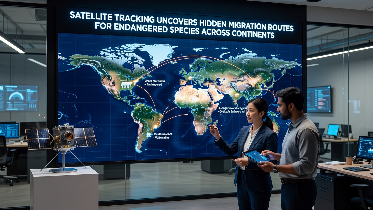
European scientists working with the European Space Agency have combined satellite readings with ground sensors to monitor lesser kestrels that breed in Spain and winter in sub-Saharan Africa. The resulting maps indicate that the birds rely on a chain of small wetlands for refueling, sites that face pressure from urban expansion. In Australia, government wildlife services track humpback whales and fruit bats across vast distances, producing reports that link migration timing to rainfall patterns in northern rainforests.
One study released by Australia's Department of Climate Change, Energy, the Environment and Water details how satellite tags on grey-headed flying foxes revealed previously unmapped flight paths between coastal forests and inland orchards. The same approach applied to Canadian woodland caribou by federal researchers shows consistent use of specific river crossings that had escaped earlier aerial surveys.
Conservation Applications
Wildlife managers use the migration maps to identify bottlenecks where habitat protection yields the highest returns. For instance, narrow corridors identified for pronghorn antelope in the western United States have prompted land purchases that maintain connectivity between summer and winter ranges. In Asia, satellite data on snow leopard movements across the Himalayas has guided placement of camera traps and anti-poaching patrols along high passes.
International agreements now reference these tracking results when setting shipping restrictions or designating marine protected areas. Coordination between the U.S. Fish and Wildlife Service and counterpart agencies in Mexico and Canada has produced joint recommendations for fencing modifications that allow safe passage for species crossing the border region.
Future Monitoring Developments
Next-generation tags will incorporate accelerometers and environmental sensors that record feeding events and energy expenditure, adding behavioral context to location data. Constellations of smaller satellites promise more frequent signal reception, which reduces gaps in coverage over polar regions and dense rainforests. Analysts expect these advances to refine predictions of how shifting climate conditions may alter traditional routes for multiple species.
Conclusion
Satellite tracking continues to expand the record of long-distance movements by endangered animals, supplying the spatial detail needed for targeted habitat management across political boundaries. The datasets accumulated since the early 2000s already show consistent patterns that inform both local protection measures and broader policy frameworks. Ongoing improvements in tag design and satellite coverage will likely extend these insights to additional species and finer temporal scales in the coming years.